Our Services
Blue Latitudes combines our industry expertise with research-based insights and technical tools to assess offshore infrastructure on a case-by-case basis to determine the best environmental, economic, and socially responsible outcomes available for our clients.
rov-based environmental surveys
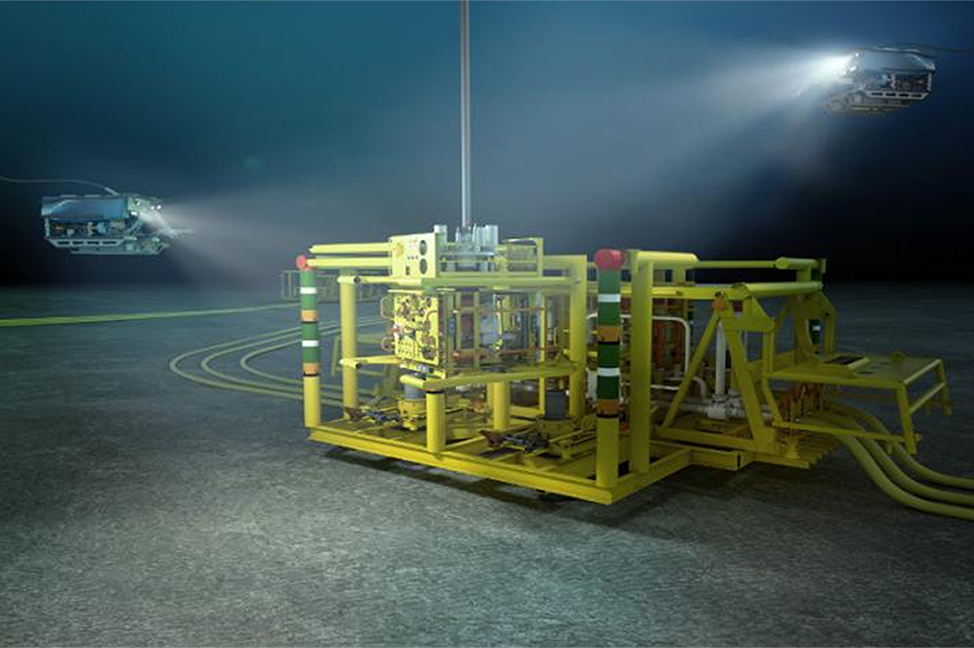
We design and deploy marine life surveys using remotely operated vehicles (ROVs) to evaluate ecological biodiversity and abundance on offshore infrastructure, including subsea equipment.
hydroacoustic Fish surveys
We design and deploy hydroacoustic surveys to monitor fish movements over large scale environments and determine fish abundances on offshore infrastructure utilizing sound movements through water, this is especially valuable as a tool to sample highly mobile species.
Environmental impact assessments
We develop technical environmental assessment reports to describe the ecological value associated with offshore structures and conduct field studies, as needed, to support these projects.
Fisheries analysis
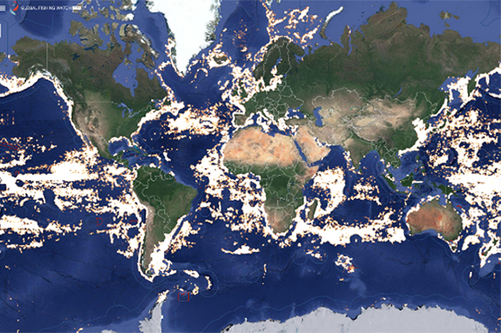
We leverage our tool FishLAT to quantify how fishery stakeholders interact with offshore structures, identify potential impacts, and present solutions that lessen the frequency of negative interactions between ocean stakeholders.
permitting & Regulatory compliance
We prepare environmental documents for permit compliance. Our services are particularly valuable where independent technical support, re-analysis of existing data, or additional studies are needed. These services often yield significant cost savings for our clients.
DECOMMISSIONING planning& Siting studies
We identify sites for reefing and support our clients in navigating the complexities of planning for decommissioning to ensure that all planned cleanup actions comply with environmental standards, align with stakeholder considerations, and satisfy required permits and regulations.
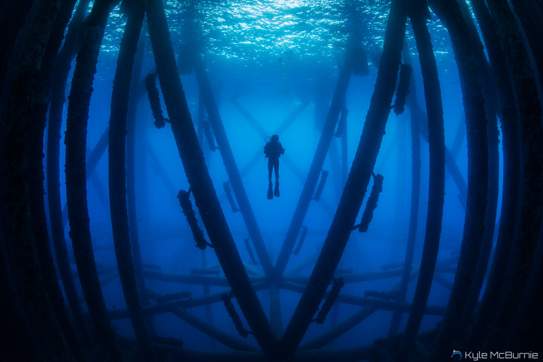
marine life surveyS on oil & gas platforms
We evaluate the marine ecosystems found on platforms and subsea equipment to assess if a structure is a viable candidate for a Rigs to Reefs conversion or a leave-in-place decommissioning strategy.
GIS Analysis & Mapping Technologies
We are uniquely qualified in geographic information systems (GIS), combining both data science and storytelling, to use spatial analytics to visualize ecological processes and craft compelling, data-driven narratives for stakeholders across technical and non-technical audiences.
public outreach & communications
We relate complex scientific ideas to a broad demographic of audiences across multiple platforms, including major news outlets, social media, lectures, publications, and film.


